Spatial Data
Make more of every captured space.
A 3D capture can become practical outputs for property, design, construction, insurance and facilities workflows.
Types of spatial data available
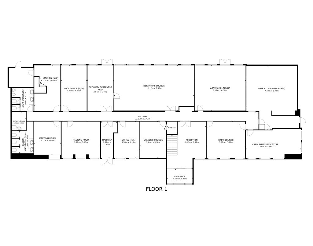
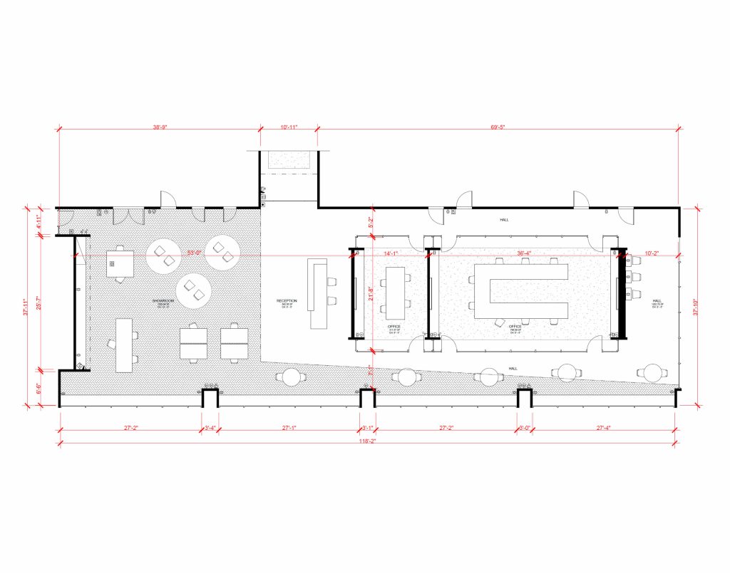
Schematic Floor Plan
A clean 2D plan generated from the captured space for marketing and general layout reference.
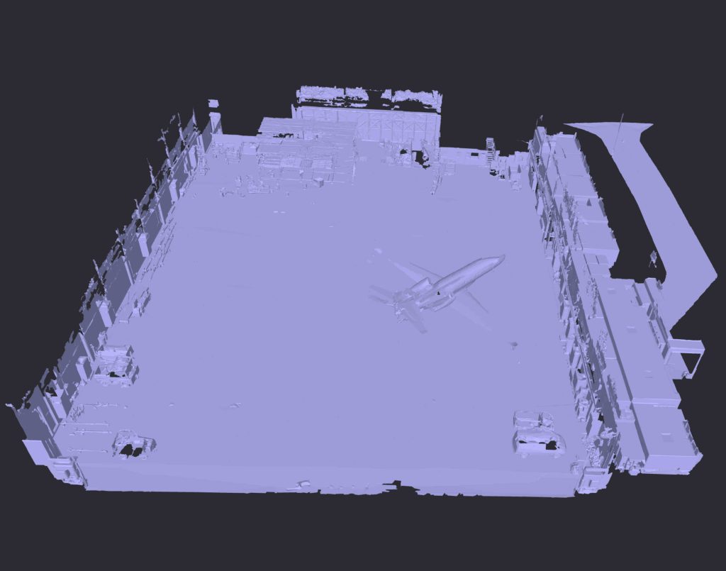
MatterPak
A bundle of assets for architecture, construction and design workflows.
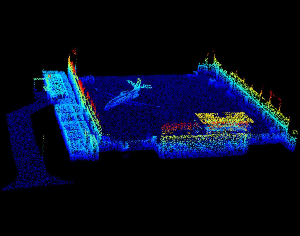
E57 Point Cloud
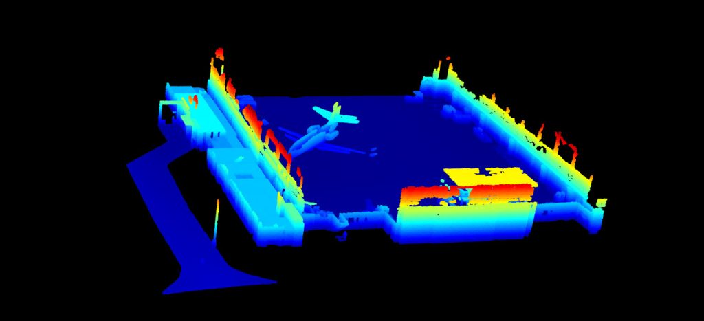
A vendor-neutral registered colour point-cloud file compatible with many 3D applications.
2D CAD (.DWG)
A two-dimensional CAD drawing created from the spatial data.
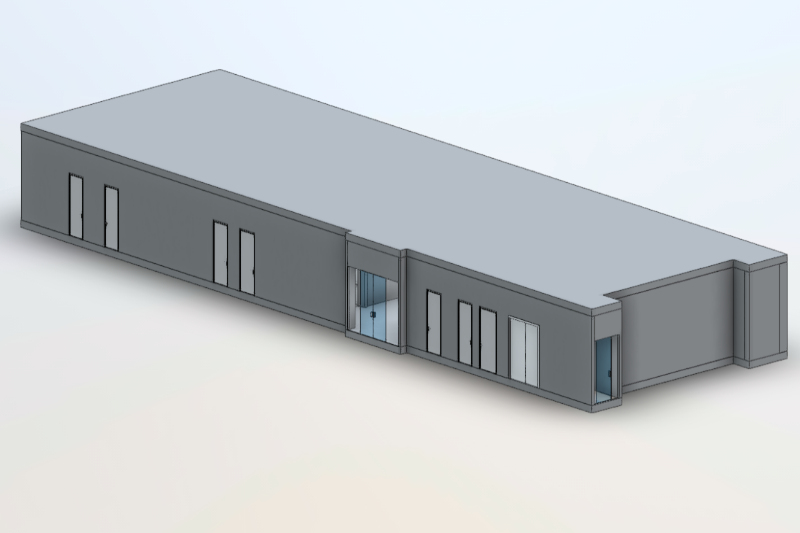
BIM (.RVT / .DWG)
A LOD 200 building-information model scoped to the elements required.
Insurance Files
Matterport Sketch and TruePlan outputs for compatible claims workflows.
Start with the end use
Tell us which software, team, decision or workflow the information needs to support. We will help identify the most suitable output and confirm the specification before work begins.